


El Nino 2015-2016
Could this mean another snowy winter for Newport News?
With winter just around the corner, new forecast models are predicting a break from the typical chill of the season for the Pacific Northwest into the northern Plains, Midwest, and interior Northeast. However, forecasters are expecting a wet and chilly winter for much of the south.
According to the Weather Channel, the South and parts of the East Coast are expected to see colder than average temperatures during the December through February time period.
One of the strongest factors supporting this forecast is the significant El Niño that is expected to last through the 2015-2016 winter. Occurring about every 3-7 years, there is a trend for temperatures to be cooler in the southern half of the U.S., and warmer in the northern sections of the U.S.
According to the National Oceanic and Atmospheric Administration (NOAA), “This year’s El Nino, among the strongest on record, is expected to influence weather and climate patterns this winter by impacting the position of the Pacific Jet stream.”
Mike Halpert, Deputy Director of NOAA’s Climate Prediction Center explains, “While Temperature and precipitation impacts associated with El Nino are favored, El Nino is not the only player. Cold-air outbreaks and snow storms will likely occur at times this winter. However, the frequency, number, and intensity of these events cannot be predicted on a seasonal time scale.”
Precipitation outlooks released by NOAA claim that wetter than average conditions will most likely be seen throughout the Southern US; including up the East Coast into southern New England.
Unfortunately, exact precipitation amounts and storm strengths can only be predicted about a week in advance; resulting in predictions, but no final answers.
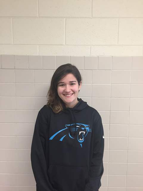
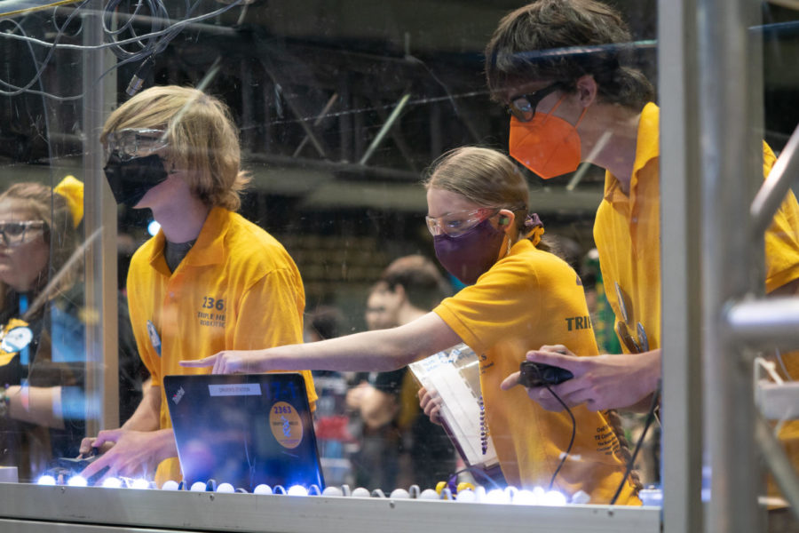
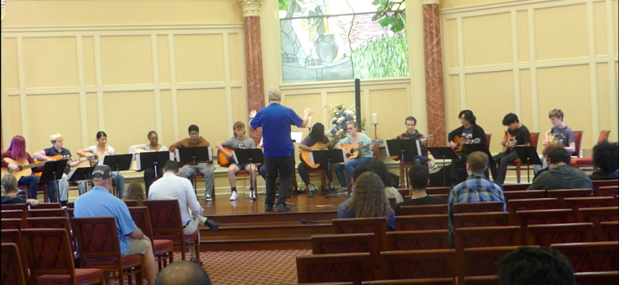
Committed to graduate in 2018, Kylee Baines is also a member of Menchville’s Guitar Quartet, SAGE, and French Honor Society. She has a strong passion...