


Hurricane Joaquin
How will the Hurricane effect us?
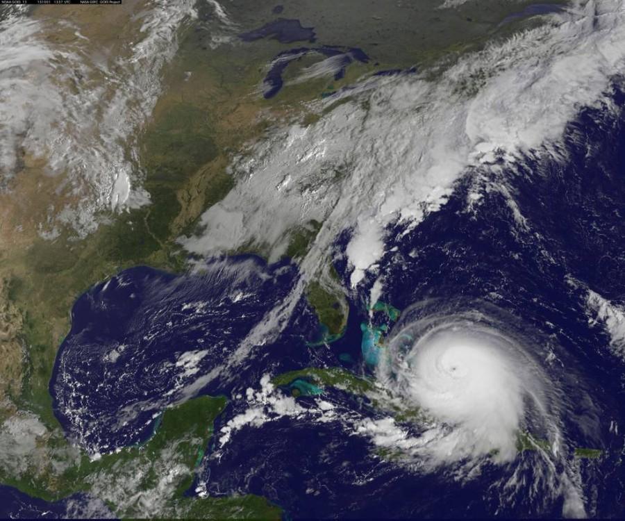
Hurricane Joaquin should be here late Sunday, early Monday. It was originally forecast to be a Category 2 Hurricane, but due to rapid intensification it is now a Category 4 Hurricane. Its pathway is hard to predict, because a stationary front is keeping it away from the East Coast, and the current storm could weaken it. The Coriolis effect should take it out to the Atlantic Ocean, but the high pressure from the Atlantic can feed the winds, and push it towards us. It will definitely come north, because of the way the Earth spins. Everybody is just worried that it may go northeast and affect the East Coast, instead of Northwest and out to Atlantic Ocean. We should watch the current weather, if it starts to warm up – it’s from the Joaquin’s influence. Also if the pressure starts to drop, the winds will speed up. We can expect flash floods, due to the current storm, and Joaquain dumping loads of water on the East Coast. The winds may cause some trees to fall down, because the ground is so wet. Maybe we will even get 10-15 foot waves. “There’s a roar to the winds, and when you hear timber cracking, that’s a scary sound,” says Mr. Sipe, Menchville’s Earth Science teacher. Prepare yourselves by going out, and buying lots of water, flashlights, batteries, and don’t rely on refrigerator foods. Most importantly stay safe, and don’t panic.

Devoted to graduating in 2016, Kaylee Boyd is working hard. She is a member of the National Honor Society, and working part-time to help pay for her college...